Tree Detection and Related Applications in Forestry
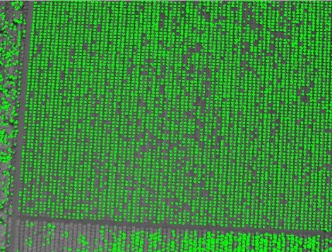
Using aerial images taken by drone, plane or satellite, RSIP Vision can create forestry image processing and analysis software to efficiently determine: Trees detection Automatic

Using aerial images taken by drone, plane or satellite, RSIP Vision can create forestry image processing and analysis software to efficiently determine: Trees detection Automatic

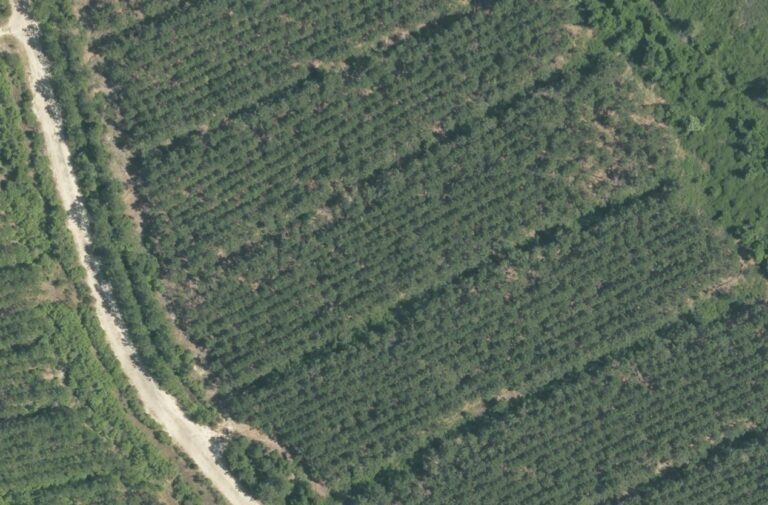
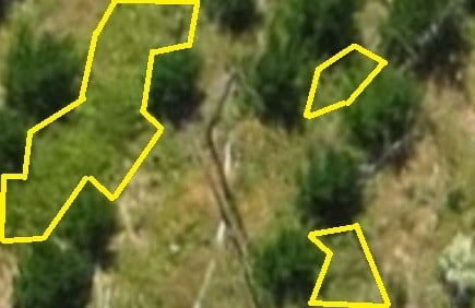
RSIP Vision creates forestry image processing and analysis software by using aerial images taken by drone, plane or satellite. Our algorithms enable to efficiently determine:

Using aerial images taken by drone, plane or satellite, RSIP Vision develops software for image processing and analysis in forestry to efficiently determine: Forest border
Please fill the following form and our experts will be happy to reply to you soon
Subscribe now and receive the Computer Vision News Magazine every month to your mailbox
© All rights reserved to RSIP Vision 2021